Our deep tech fund, Humba Ventures, is excited to announce our investment in Danti, a company that is fundamentally changing how the Department of Defense, intelligence community, and commercial industries search and discover any form of geotagged content on our planet. This includes data coming from satellites, drones, news, social media, property records, roof reports, and so on. We’re thrilled to welcome Jesse, Martice, and the Danti team to the Humba Family.
Geospatial data (images and data about objects or events that are tied to a specific location) is critical for decision-making, but traditionally requires a GIS expert to know extensive information about sensors, what they are best suited for, what analysis pairs with them, or even to carefully craft queries that look like this [1]:
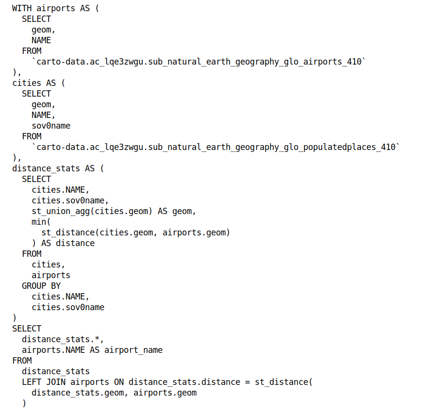
With Danti, any user can search for “what’s the closest airport to each major city?” and get the same results as the SQL monstrosity above.
People often say “garbage in, garbage out” when describing the importance of data quality for decision-making, and nowhere is this truer than in government contexts. In a realm where data drives military strategies and policy decisions, the cost of poor data or lack of querying ability isn’t just monetary; it’s potentially a matter of national security and saving lives. Officials frequently need real-time data for urgent actions, but that data is siloed across many systems across the government or commercial market, and hard to search. So, users wait for days or weeks, or just make decisions based on gut feel. By enhancing the accessibility and usability of geospatial data, Danti ensures that key decisions are backed by the best and most relevant information.
Now that Humba Ventures has been investing heavily in defense for the last few years — Danti is our 5th investment here! — one thing we’ve learned from talking to lots of companies and experts is that startups can often get stuck working with a single government department as some high-ranking person’s pet project. This is a challenge because it feels like a sign of traction, but what happens if your champion leaves or if their interests shift? This observation is one of the many reasons we got excited by Danti’s progress: their product isn’t just an abstract concept; it’s already generating significant revenue across multiple departments like the National Geospatial Intelligence Agency and U.S. Space Force.
These are groups that cannot afford to make mistakes, and are already partnering with Danti despite the company being less than one year old. The secret to the company’s quick traction is the strength of the team and the founders’ amazing founding-market fit. Jesse previously led Airbus’ U.S. satellite data & geospatial business and has spent 15+ years in startups, defense and the broader aerospace market, while Martice was a Chief Architect and Global Director at geospatial behemoths like Maxar. The founders have years of relevant experience in geospatial search, satellite imagery, drone data, enterprise and government software, and they deeply understand Danti’s domain.
Under the hood, Danti uses LLMs and other modern techniques to translate natural language queries into what they mean in the context of the geospatial world, and to make the linkages that only GIS experts could up to now. They’ve also built a lot of infrastructure to integrate across many government and commercial data repositories, data providers, and data types — something that Jesse and Martice are experts in given their experience. The company is addressing critical challenges at the national level, and we couldn’t be more thrilled to be involved. If you’re as excited about the mission as we are, you can follow along via their mailing list or their LinkedIn page.
[1] Example GIS query from https://www.helenmakesmaps.com/post/how-to-sql-a-guide-for-gis-users
![]()
Our Investment in Danti was originally published in Susa Ventures on Medium, where people are continuing the conversation by highlighting and responding to this story.
[#item_excerpt]